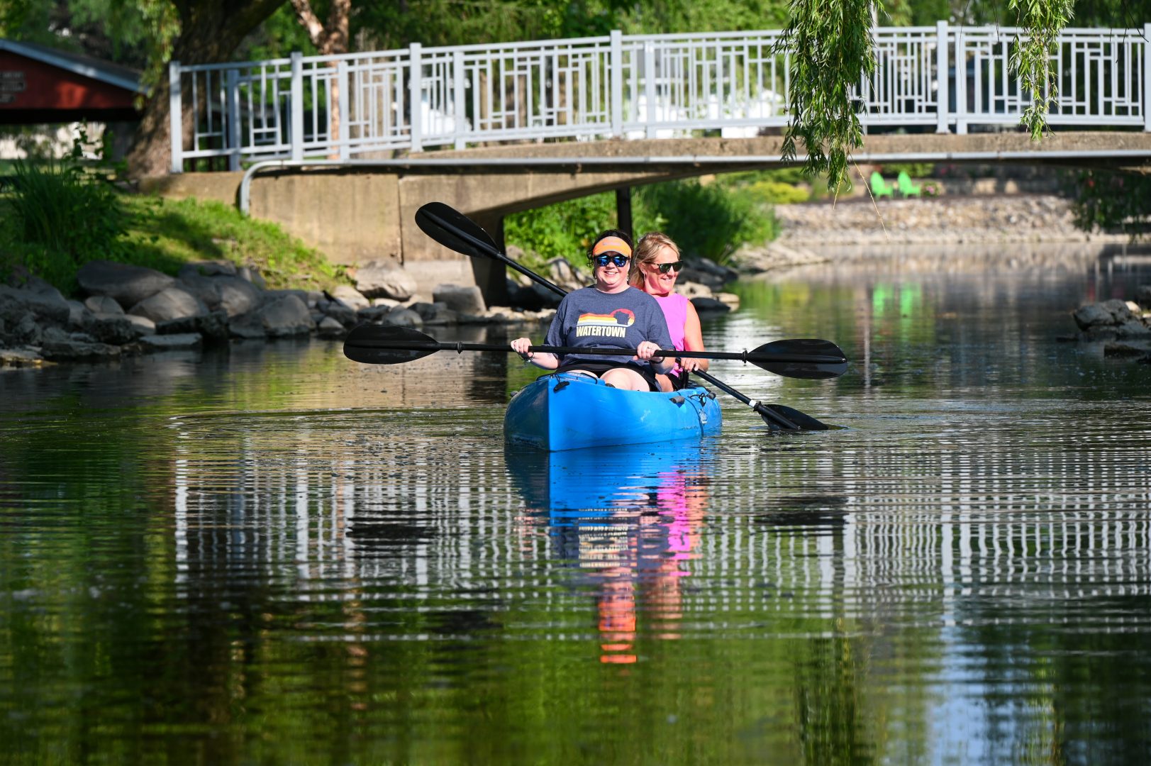
Rock River Water Trail (Horicon to Hustisford to Watertown)
General Info
Dodge County’s longest section of the Rock River Water Trail covers 53 miles from Horicon to Hustisford to Watertown.
The Rock River Water Trail is a 320-mile National Water Trail that travels through beautiful rural and wilderness landscapes from its headwaters near the Horicon Marsh to the Mississippi River at the Quad Cities of Illinois and Iowa. Learn more.
Horicon to Hustisford to Watertown (53 miles, Dodge County)
While paddling into Horicon, travelers pass the John Deere Horicon Works factory where lawn and garden tractors are built. Food, restrooms and amenities are available within a short walking distance of any of the four access sites in downtown Horicon. The dam portage from Legion Park to Kiwanis Park in Horicon is a long stretch. Kiwanis Park has carry-in access only, while a short distance downstream, River Bend Park offers a boat ramp and loading dock accessible to those with disabilities.
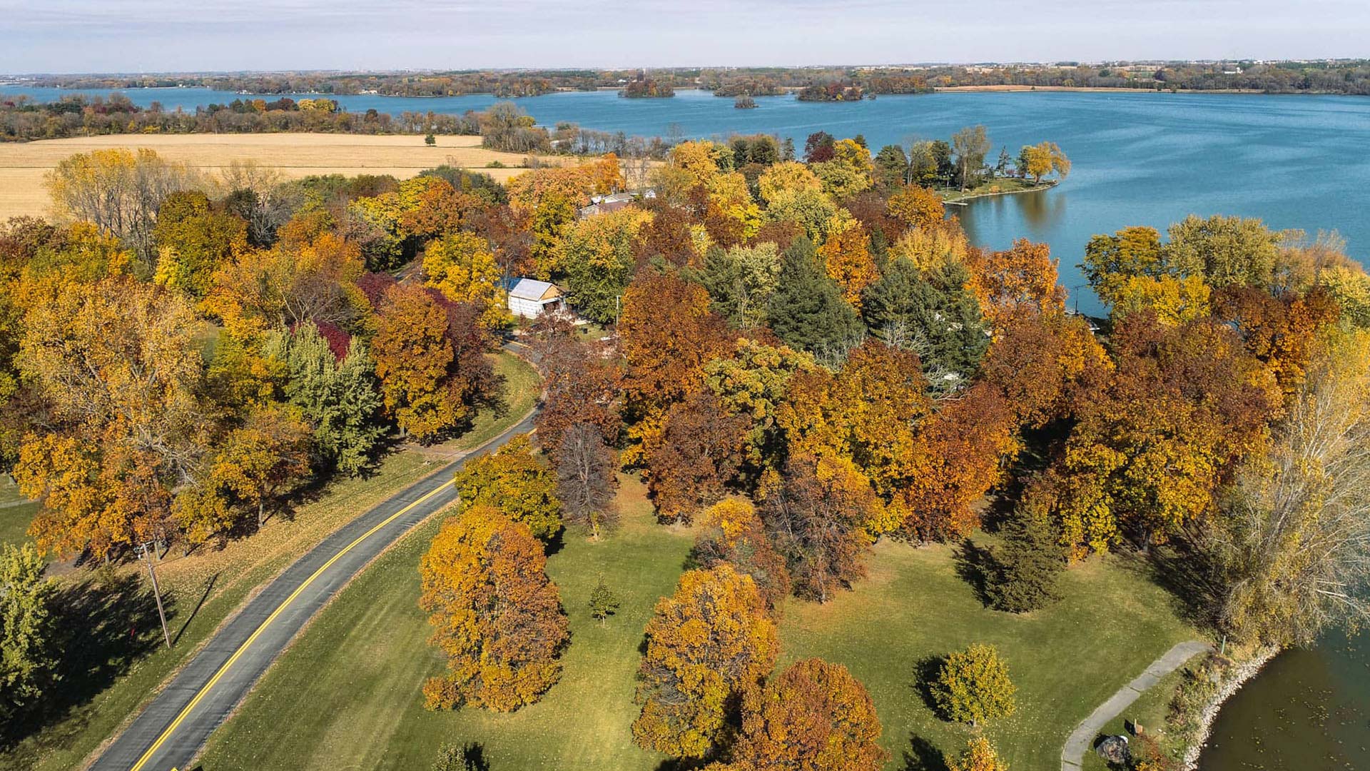
The river flows south from Horicon through rural landscapes and farmland to eventually widen and form Lake Sinissippi, a 3,000-acre impoundment of the Hustisford Dam. Rest or emergency take out at County Highway S before the lake can be made at the bridge. Ox-Bo Marina is located where the river opens to form Lake Sinissippi. Several developed access sites are available on the lake.
In the Village of Hustisford, Neider Park has an accessible boat ramp and loading dock, while Lions Park at the Hustisford Dam offers carry-in access and a signed portage path. Both parks are within easy walking distance of restrooms, food and amenities.
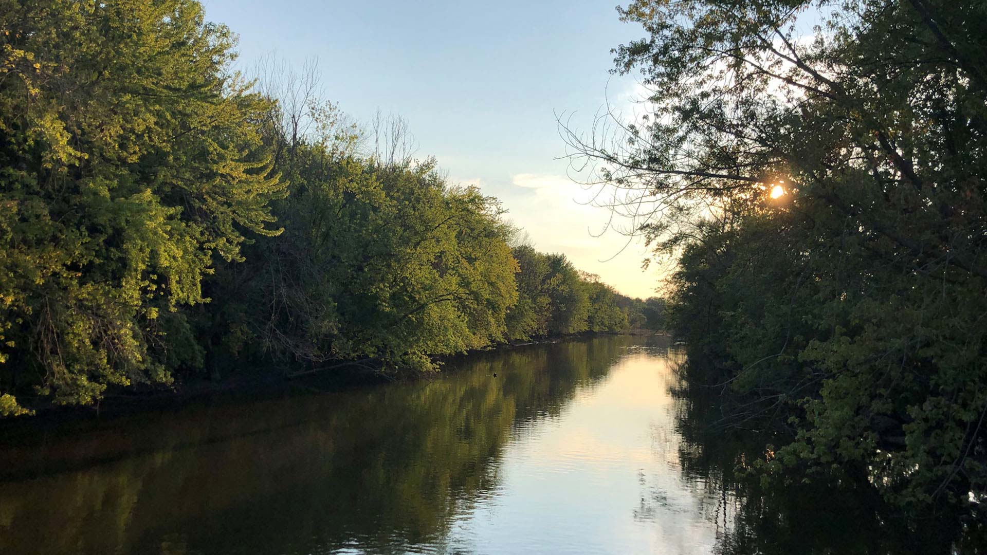
From Hustisford, the river flows 44 miles through scenic meanders and wilderness areas to the City of Watertown. The river is less than 100 feet in width along the segment to Harnischfeger Park, and paddlers must watch for possible tree strainers and log jams in narrow spots. There are several long segments with limited-access sites, including the 17-mile segment from Hustisford to Harnischfeger Park. Rest and emergency stops can be made at the alternate access site along Monroe Road or at road crossings.
Overnight camping is available at Harnischfeger Park. Two long segments from Harnischfeger Park to Kanow County Park and to County Road P in Pipersville are beautiful stretches of the river through undeveloped and rural landscapes. Access sites along these segments are limited.
The carry-in access site at the State Highway 16 wayside has a state historical marker commemorating the nation’s first numbered public highway. The Oconomowoc River joins the Rock River about 3 miles downstream of the County Highway F. The Willow Street Portage is the designated take-out site before the Upper Watertown Dam. Another take out is just before the spillway, but caution is warranted.